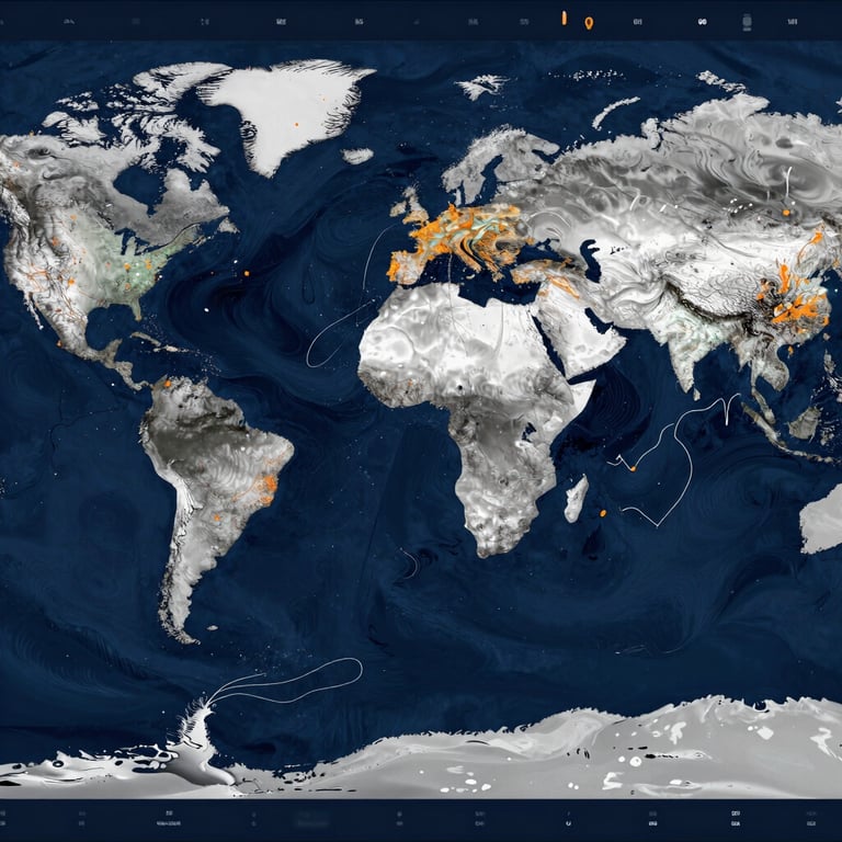
The physical-to-cloud ocean loop
We bridge the gap between ocean physics and digital models. Our global network of physical sensors captures ground-truth data to power precise routing and forecasting.
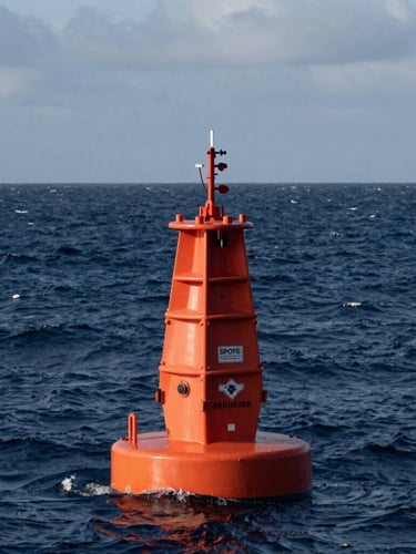
From observation to insight
Legacy models rely on satellite approximations. We replace estimates with direct physical measurements, transmitting wave spectrum and atmospheric data continuously from the open ocean.
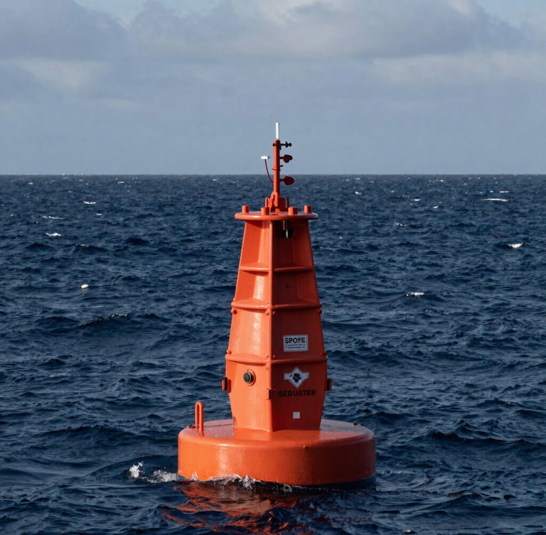
Continuous environmental tracking
100,000+
Every Spotter buoy in our grid records critical parameters including wave spectrum, wind speed, barometric pressure, and sea surface temperature. This telemetry is transmitted via satellite to our operations dashboard, feeding directly into voyage optimization algorithms.
Active observation days powering our global forecasting models with real-time marine intelligence.

Raw wave spectrum telemetry
Integrate high-density marine weather data directly into your existing routing systems. Our API delivers real-time wave, wind, and temperature observations without intermediate processing delays.
Deploy ocean intelligence
Equip your fleet with real-time marine intelligence. Access the global sensor grid or integrate custom telemetry into your maritime operations today.